An Efficient, High Precision Solution

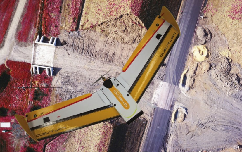
High-resolution aerial imaging in our award-winning airframe. Our fully automonous mapping & surveying UAV is the latest in QuestUAV’s range of airborne imaging platforms. 

With a 2.5kg payload capacity & modular design, we believe our Q200 is the most rugged, and versatile fixed-wing mapping platform in existence. 

Key Specifications

Airframe Specs:

Wingspan: 1.95m

Payload Capacity: 2.5kg

Average Cruise Speed: 27mph/43kmh

Fight Time: 90 minutes 

Takeoff: Safe Bungee Launch

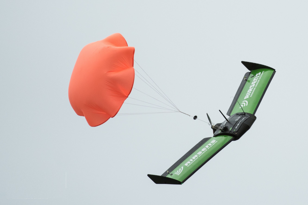
Landing: Belly Landing/Parachute

Camera Specs:

HD Daylight Camera:

  • 24.3MP
  • 0.98cm/px @ 60m altitude (59m x 39m IFOV)
  • 1.63cm/px @ 100m altitude (98m x 65m IFOV)

Thermal Imager:

  • Resolution 640 x 512
  • 7.79cm/px @ 60m altitude (50m x 40m IFOV)
  • 12.98cm/px @ 100m altitude (83m x 66m IFOV)

Powered By EmbedPress

To speak to one of our experts, get a bespoke consultation, or want to find out more about the Q200, please click the button below: 

Modular Design Creates Unrivaled Versatility

The modular design of the DATAhawk allows in-field swap outs of various components as well as maintenance upgrades to the motor & avionics systems.

A plug-in system means you can use a range of cameras that is best suited to your mission. For example, if a thermal camera is needed, this can be plugged in either singularly or in conjunction with a high resolution mapping camera due to the Q200’s sizeable 2.5kg payload. 

Fully Autonomous, With Sub 1cm GSD Accuracy

Our lightweight, fully autonomous DataHawk high precision surveying and mapping UAV delivers accuracy to below 1cm grade. It is the latest from our award winning airborne imagery products.

Twin Gimbal System

Our twin gimble system allows stable imaging across all avenues of flight. Upon movement, the gimbal counteracts the movement as it as it happens. Thus, the footage remains stable because the camera was prevented from shaking back and forth by the pivots