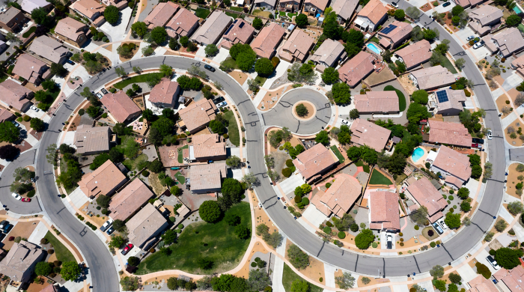
Survey large areas in high detail using the Q-200 Surveyor Pro. The 2m wingspan, fixed-wing aircraft is suited to high resolution data collection across your entire survey site, with hundreds of hectrares of coverage achievable in a single flight.
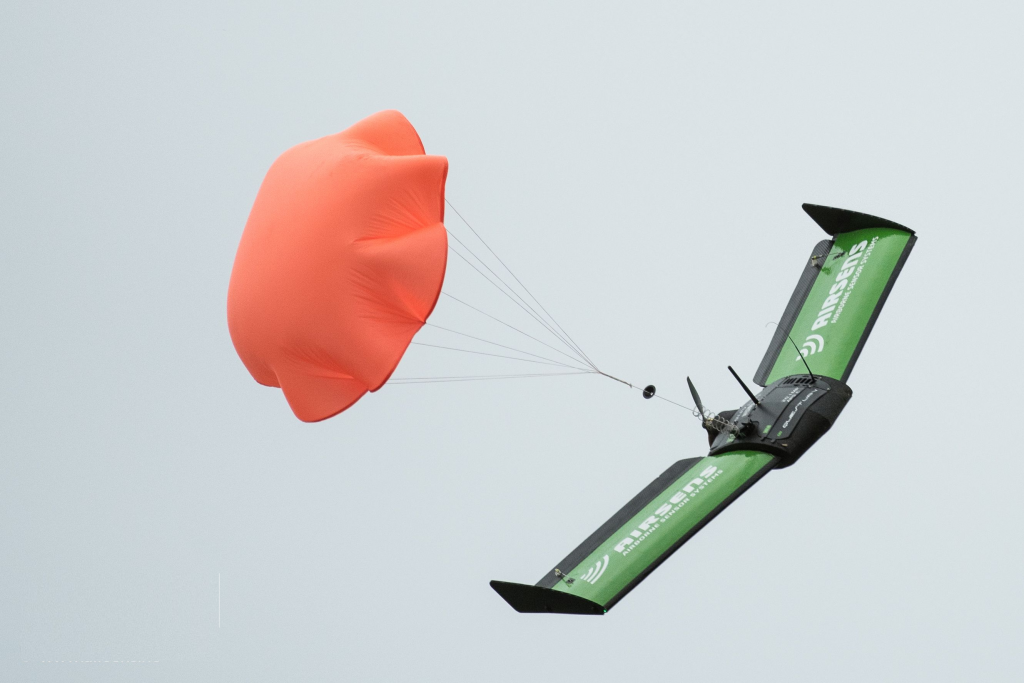
Naturally the Q-200 is fully capable of both the standard autonomous or pilot assisted landings- there is also a built-in, reusable ballistic parachute available to provide the pilot with an extra landing option.
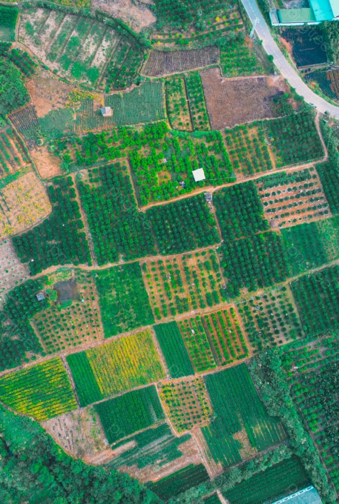
Inspired by survey professionals, the Datahawk PPK, (Post-Processing Kinematic), is a fully autonomous UAV. Automatically convert your high resolution data into geo-referenced 2D orthomosaics, 3D models and point clouds- providing fast and reliable results…. every flight.
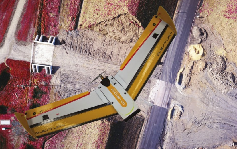
Straightforward flight planning, easy launch and recovery, incredible image quality and a fast, personalised technical support for flight backup. These all combine to form a UAV solution you can trust.